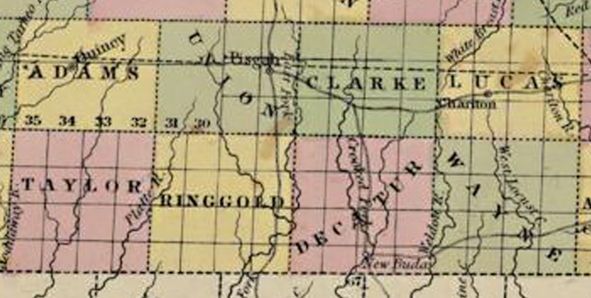
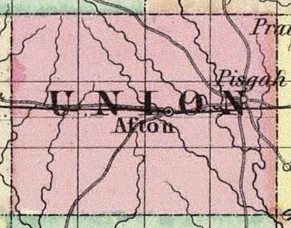
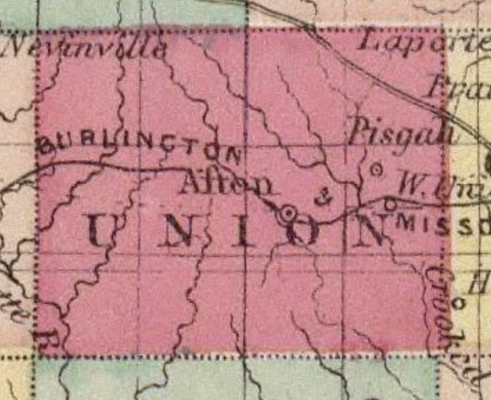
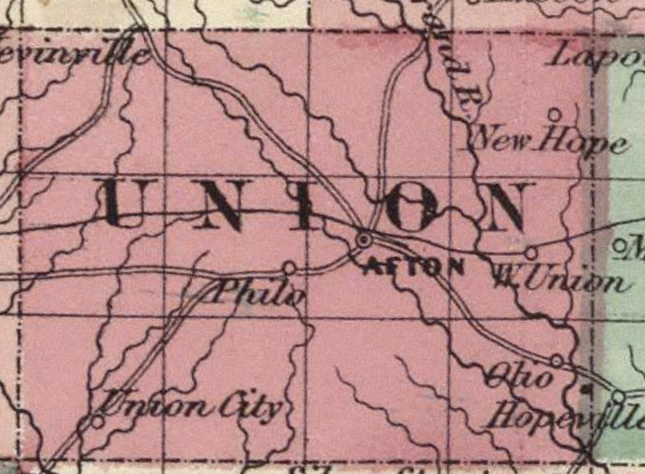
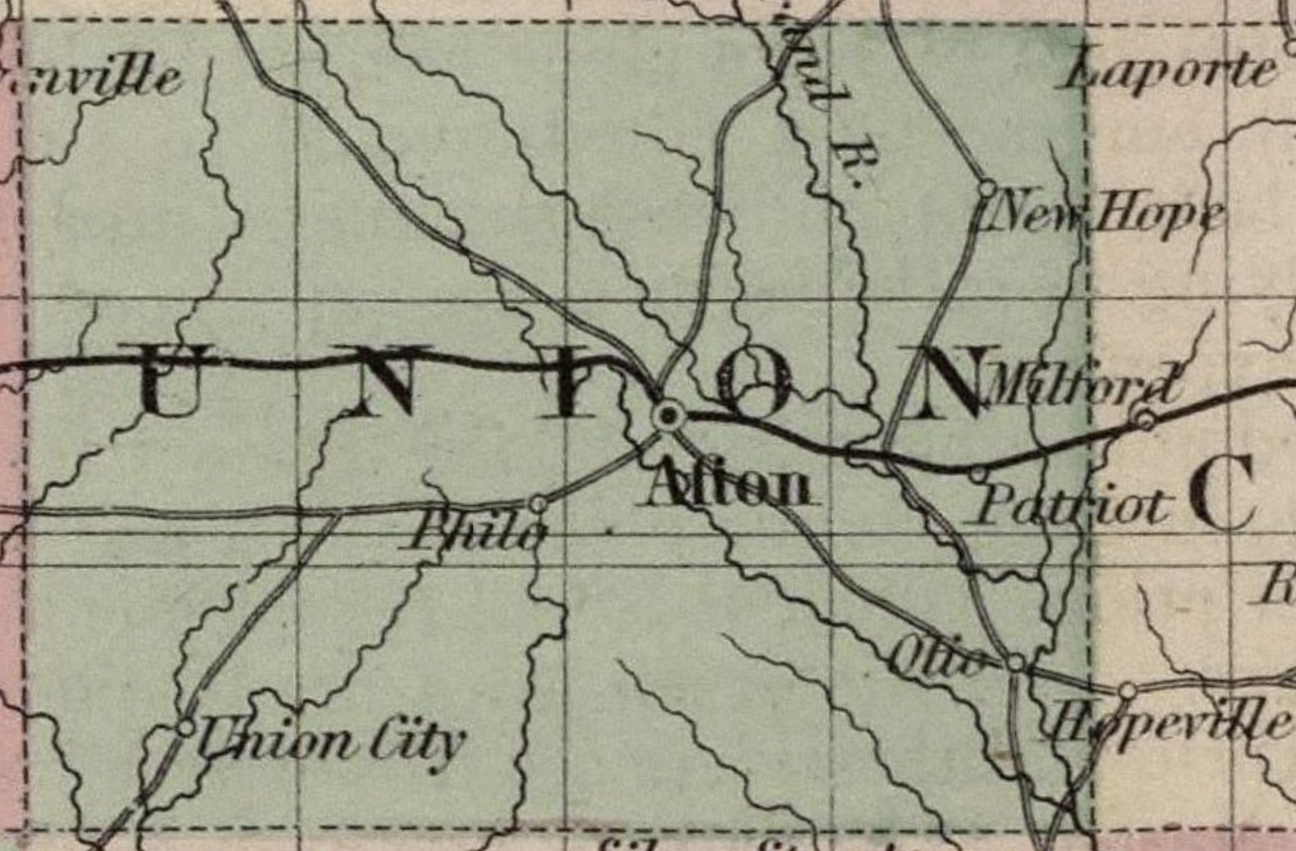
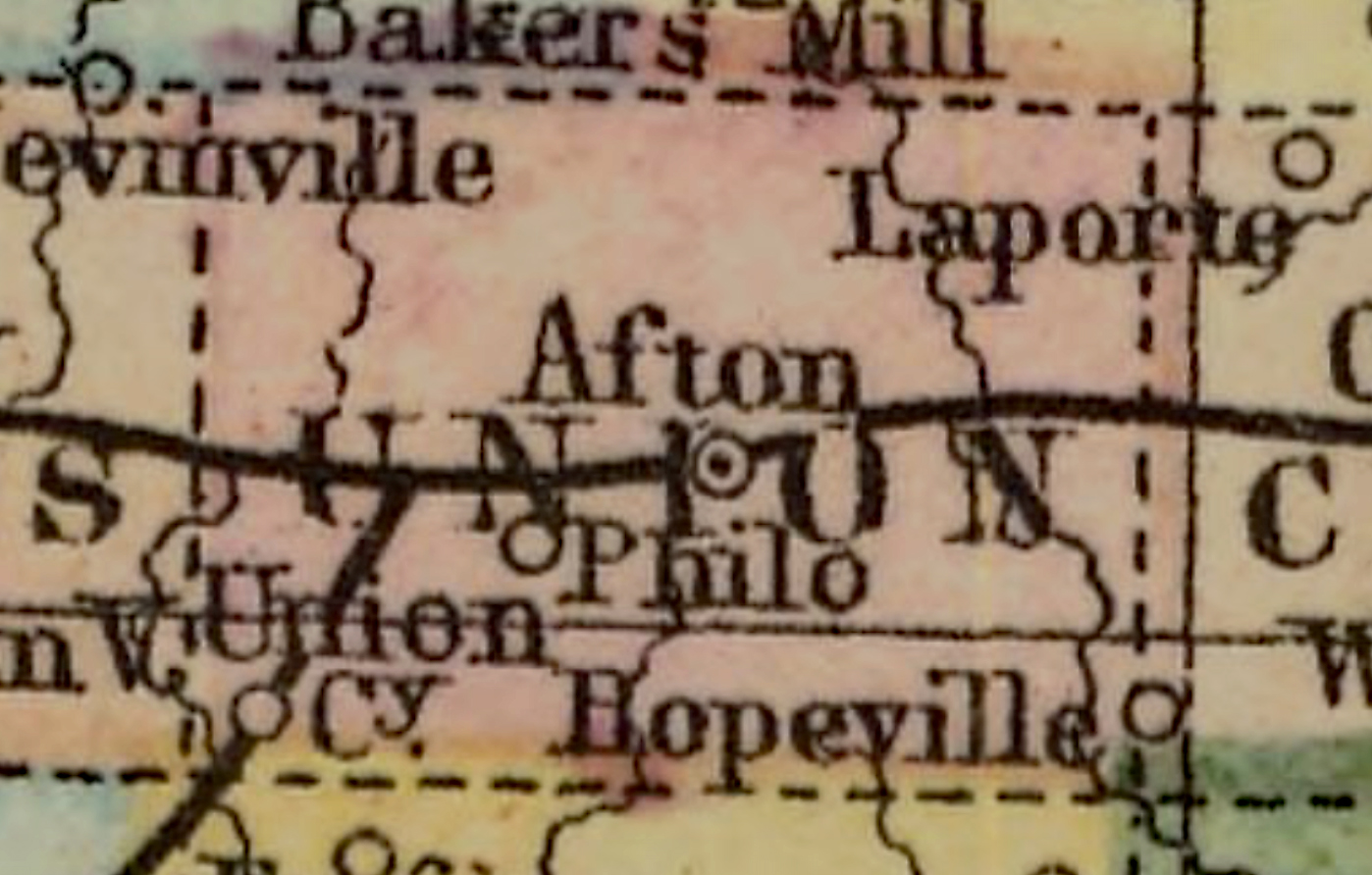
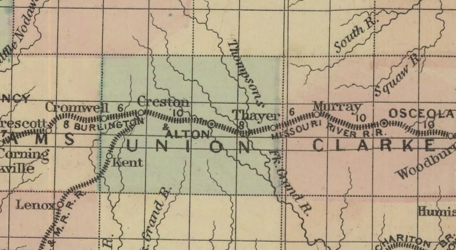
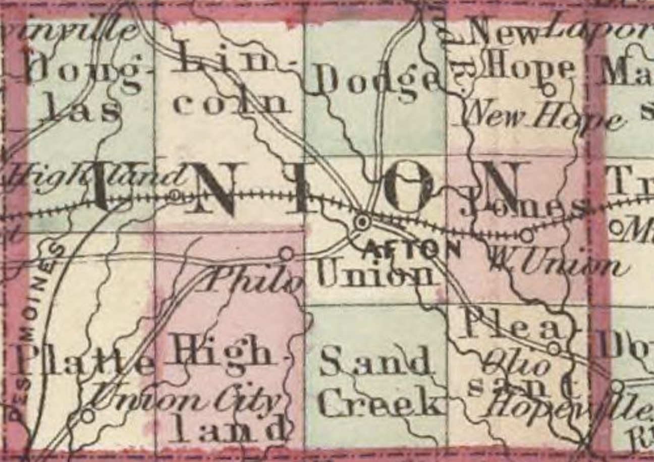
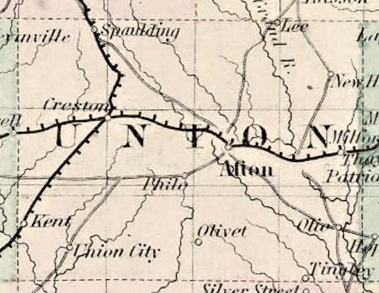
Early Maps of Union County Views clipped from various state maps – 1854-1882. Maps shown in chronological order. See photo captions for dates and publishers. New map of Iowa, 1854. Pisgah is the only town shown in Union County. Afton & Pisgah. J. H. Colton, 1856. Pisgah, West Union, and Afton. Map of Iowa & Nebraska, Johnson & Browning 1860. New Hope, West Union, Olio, Afton, Philo, Union City & New Hope. - Map of Iowa & Nebraska, A. J. Johnson, New York, 1865. Patriot, Olio, Afton, Philo, Union City &. New Hope. - C. B. Colton & Company, New York 1869. Afton, Philo, and Union City. Map of Iowa & Missouri, 1872. Iowa rail road map, 1872. Afton shown misspelled as Alton. Before Grant & Spaulding Townships were formed. Creston shown as Highland. Map of Iowa & Nebraska, A. J. Johnson, New York, 1874. Lee, New Hope, Thayer, Patriot, Olio, Tingley, Olivet, Philo, and Union City. C. B. Colton, New York, 1882.